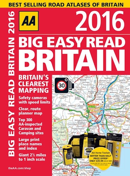
 For the past 30 years the motorists of Great Britain have been finding their way around the nation with the help of the AA’s Road Atlas Britain.
The 2016 editions of the AA’s range of Road Atlases for Britain includes over 136,000 miles of UK roads mapped out in each atlas as well as over 31,000 cities, towns and villages helping motorists find not only their destination but also a plethora of hidden gems to explore. With so much information in each atlas it is no wonder that the AA is the market leader when it comes to road atlases in the United Kingdom.
A lot has changed since the first edition of the AA Road Atlas Britain.
The first edition of the AA Road Atlas Britain showed the M25, fully opened in October 1986, the M4 and the M5 both fully opened, but the M3 only running from London to Winchester and there was no M20 between Maidstone and Ashford.
Other changes since the first edition are the M63 and M62 which formed parts of the Manchester motorway ring road before it was fully orbital around the city and became known as the M60.
The AA is the market leader in UK road atlases and many of today’s motorists remember their parents and grandparents relying on the familiar AA maps over the years.
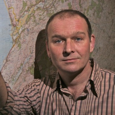
 Mike Parker, author of Mapping the Roads, (right) said, “The idea, thirty years ago, that you’d plug in your brick of a car telephone and it would give you precise instructions to get you to your destination was the stuff of sci-fi.
“How times have changed: satnavs and now smartphones, in turn, have been the fastest-selling gadgets in history. But that doesn’t mean that the paper map is dead – far from it! A road atlas will never lose power or signal.
“More importantly, it helps you see the bigger picture, the context of the land through which you’re travelling.
“That way, you might spot a scenic alternative back road route, or unearth an interesting diversion on the way. Paper maps help remind us that there’s much much more to our land than tarmac.”
The new AA Road Atlas Britain range includes seven varieties with differing scales, size and bindings all fully revised for 2016 six of which were the in the top 10 Bestselling UK Atlases in the past 12 months including the Big Easy Read Atlas Britain spiral edition which was the top selling UK road atlas.
In 1986:
The Vauxhall Belmont (Astra saloon) and Vauxhall Carlton (Omega) were launched.
Government scrapped plans to sell Austin Rover to Ford and the Rover Group was created.
The last Talbot cars were built in Coventry.
Nissan Bluebird production started in Sunderland.
Rover SDI replaced by Honda-based Rover 800.
Eurotunnel Group formed to operate the Channel Tunnel.
A gallon (4.5 litres) of 4-star petrol cost the 179.36p
A pint of milk was 20p.
A family loaf was 49p.
20 cigarettes were £1.34.
*Mapping the Roads by Mike Parker
From the old ways to the motorways, Mapping the Roads, charts the ambitions and hopes of the nation through our maps, published by AA and available from AA Shop priced £16.99.
